disaster
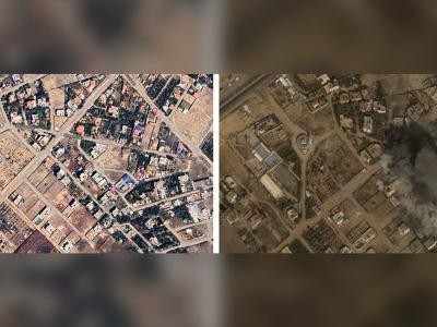
Designing practical algorithms for damage detection in satellite images requires a substantial and well-labeled dataset for training, validation, and testing. In this paper, we collect GAZADeepDav: a high-resolution PlanetScope satellite imagery dataset with 7264 tiles for no damage and 6196 tiles for damage . This work is delving into the steps of collecting the dataset, Geotagging and employing deep learning architectures to distinguish damage in war zones while also providing valuable insights for researchers undertaking similar tasks in real-world applications.
- Categories:
 431 Views
After a hurricane, damage assessment is critical to emergency managers and first responders so that resources can be planned and allocated appropriately. One way to gauge the damage extent is to detect and quantify the number of damaged buildings, which is traditionally done through driving around the affected area. This process can be labor intensive and time-consuming. In this paper, utilizing the availability and readiness of satellite imagery, we propose to improve the efficiency and accuracy of damage detection via image classification algorithms.
- Categories:
 7427 Views