Global Land Use & Biodiversity Insights: Explore Trends & Data
- Citation Author(s):
-
RAMKUMAR YARAGARLA
- Submitted by:
- RAMKUMAR Yaragarla
- Last updated:
- DOI:
- 10.21227/vyma-4w70
- Data Format:
- Research Article Link:
 283 views
- Categories:
- Keywords:
Abstract
This dataset provides a comprehensive analysis of global land use and biodiversity trends, offering insights into how ecosystems are changing over time. It includes country-wise data on arable land, forests, and permanent crops, helping to track the impact of agriculture and deforestation on natural landscapes. The biodiversity section highlights protected areas and key conservation indicators, allowing researchers to assess the effectiveness of environmental policies.
The primary data source is UN Data: Land Estimates (last updated November 27, 2024), ensuring accuracy and reliability. This dataset is valuable for policymakers, researchers, and conservationists, supporting decisions related to sustainable land management and biodiversity protection. It integrates seamlessly with geospatial tools like Leaflet and NASA GIBS, enabling interactive visualization of environmental changes.
By providing a historical and comparative perspective, this dataset helps in tracking deforestation, land degradation, and conservation efforts. It is crucial for climate action, urban planning, and meeting global sustainability goals, particularly SDG 15 (Life on Land).
Instructions:
README: Land Use & Biodiversity Datasets
This repository contains two datasets that provide insights into global land use patterns and biodiversity conservation efforts.
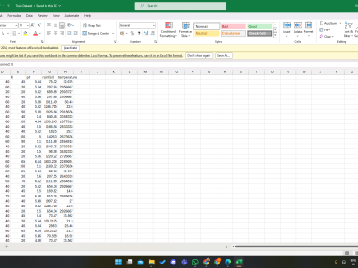
final_filtered_countries_cleaned.csv(Land Use Data)- Contains country-wise data on arable land, forest cover, and crop land percentages.
- Helps track land use changes, deforestation trends, and agricultural expansion over time.
bio_countries_cleaned.csv(Biodiversity Data)- Includes biodiversity protection indicators for different countries and years.
- Provides information on the percentage of key biodiversity sites under protection.
Usage Instructions:
- Both datasets are structured with Country, Year, Series and Value. The value column gives the percentage estimates.
- They can be used for trend analysis, GIS mapping, and policy research.
- Primary data source: UN Data: Land Estimates (Updated: Nov 27, 2024).
- Recommended tools: Python (Pandas), R, GIS software, or JavaScript (Leaflet) for visualization.
Access and Citation
For more insights and visualizations, visit I Hug Trees - Data Analytics.
If using this dataset, please cite:
How to cite this dataset
AMA Style:
“Mapping Our Planet Biodiversity and Landuse.” I Hug Trees. https://ihugtrees.org/data-analytics/mapping-our-planet-biodiversity-and-landuse.html Accessed Mar 07, 2025.