Datasets
Standard Dataset
Multisense
- Citation Author(s):
- Submitted by:
- Marwen Bouabid
- Last updated:
- Wed, 10/09/2024 - 12:41
- DOI:
- 10.21227/cxy4-1136
- License:
 350 Views
- Categories:
- Keywords:
Abstract
Dataset Description
This dataset, named MultiSense, is designed to enhance disaster response by providing comprehensive data from multiple sources. It comes in two versions: balanced and unbalanced. The dataset consists of five distinct classes, each representing different types of events or conditions:
-
Syria Earthquake: This class includes imagery and video footage related to earthquake damage. The data captures the aftermath of seismic events, showcasing various degrees of destruction.
-
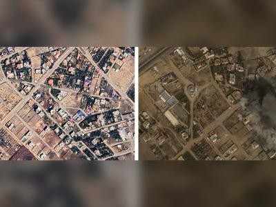
Gaza War: This class contains data depicting war-related damage. It includes imagery and videos from conflict zones, highlighting the impact of warfare on infrastructure and urban areas.
-
Hurricane Harvey: This class encompasses data related to hurricane damage. It includes imagery and footage showing the effects of strong winds, flooding, and storm surges associated with hurricanes.
-
Libya Flood: This class features imagery and videos of flood damage. It documents areas affected by flooding, capturing the extent of water damage to buildings, roads, and landscapes.
-
No Damage: This class provides imagery and footage of areas with no significant damage. It serves as a control group, representing normal conditions without the impact of natural disasters or conflicts.
The balanced version of the dataset contains an equal number of samples from each class, ensuring that the model trained on this data does not favor any particular class due to data imbalance. On the other hand, the unbalanced version reflects the real-world distribution of such events, where some types of damage may be more prevalent than others.
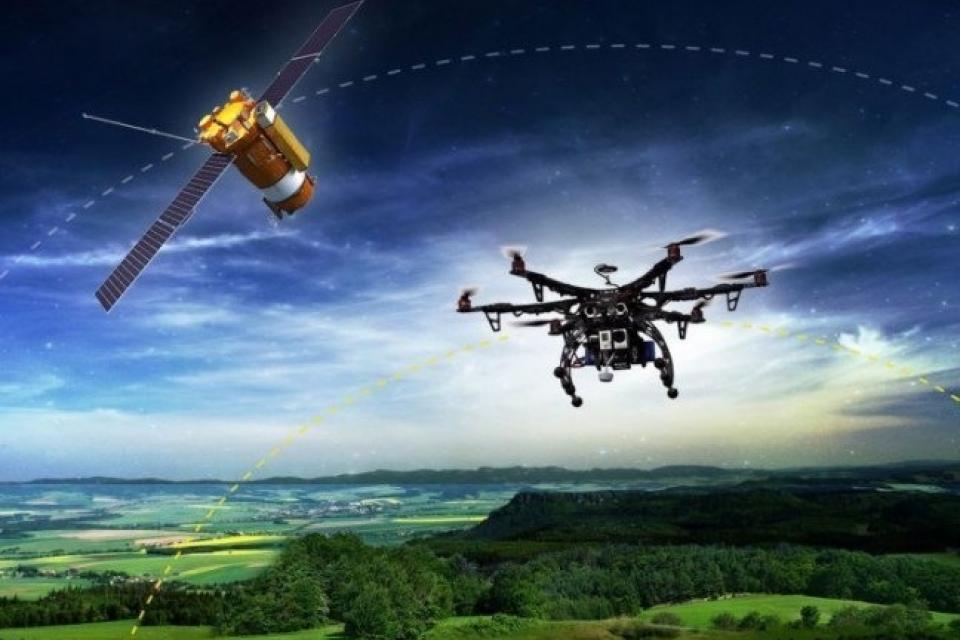
Both versions of the dataset include high-resolution satellite imagery and drone footage, offering a rich and diverse set of data for training and testing machine learning models aimed at disaster detection and response. The balanced dataset is ideal for training models that require equal representation of each class, while the unbalanced dataset provides a more realistic scenario for model evaluation.
Instructions to Unzip the Dataset Files
The raw dataset is provided in the zip file:
MultiSense_Unbalanced.zip(for the unbalanced version)
You just need to unzip the file and you will get the images associated with each class. Each class contains associated Uav and sarellite images
if you use this dataset please cite the following paper:
GAZADeepDav: A High Resolution Geotagged Satellite Imagery Dataset For Analyzing War-Induced Damage
M. Bouabid and M. Farah, "GAZADeepDav: A High Resolution Geotagged Satellite Imagery Dataset For Analyzing War-Induced Damage," IGARSS 2024 - 2024 IEEE International Geoscience and Remote Sensing Symposium, Athens, Greece, 2024, pp. 8876-8879, doi: 10.1109/IGARSS53475.2024.10642306.keywords: {Training;Accuracy;Recurrent neural networks;Image resolution;Geoscience and remote sensing;Satellite images;Task analysis;Satellite images;Deep learning;Gaza War;damage Detection;SqueezeNet;BiLSTM},
More from this Author


Comments
Need dataset