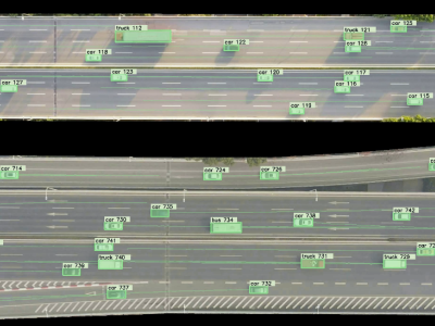
We have selected three intersections within Xi'an, Shaanxi Province, China for data collection. These include the intersection of Taibai South Road and Keji Road, the intersection of Chang'an North Road and Yanta West Road, and the intersection of Yanta North Road and Youyi Road. The UAV for the purpose of video data collection is employed to investigate intersections, with a high-definition video resolution of 4096 * 2160. The spatiotemporal position information of target vehicles was tracked and labeled using Datafromsky software.
- Categories:

