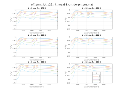
Thermal infrared (IR) environmental satellite data assimilation and remote sensing of the surface and lower troposphere depend on accurate specification of the spectral surface emissivity within clear-sky forward calculations. Over ocean surfaces, accurate modeling of surface-leaving radiances over the sensor scanning swaths is complicated by a quasi-specular bidirectional reflectance distribution function (BRDF).
- Categories:
