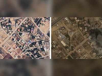
Planetscope
Designing practical algorithms for damage detection in satellite images requires a substantial and well-labeled dataset for training, validation, and testing. In this paper, we collect GAZADeepDav: a high-resolution PlanetScope satellite imagery dataset with 7264 tiles for no damage and 6196 tiles for damage . This work is delving into the steps of collecting the dataset, Geotagging and employing deep learning architectures to distinguish damage in war zones while also providing valuable insights for researchers undertaking similar tasks in real-world applications.
- Categories:
 434 Views