Datasets
Standard Dataset
Unmanned Surface Vehicle sensors data
- Citation Author(s):
- Submitted by:
- Mustofa Basri
- Last updated:
- Tue, 05/14/2024 - 01:56
- DOI:
- 10.21227/ytkq-f326
- License:
 233 Views
- Categories:
- Keywords:
Abstract
This is a dataset collected in the sea trials at YAS Island, Abu Dhabi, UAE on January, 30 2024 at 17:34 February, 05 2024 at 16:36. The test were conducted in sea code 1~2 on January, 30, and sea code 3 on Feb, 05. The primary aim of these experiments was to investigate the effectiveness of the proposed method in estimating the position of the target station when significant amount of sea wave turbulence are present. The data consists of the reading of two 120-degree and three 360-degree 3D LiDARs at 10 hz, the DVL and IMUs are used to obtain the speed of the USV, attitude information, and the orientation of the USV, respectively, in the local body coordinate.
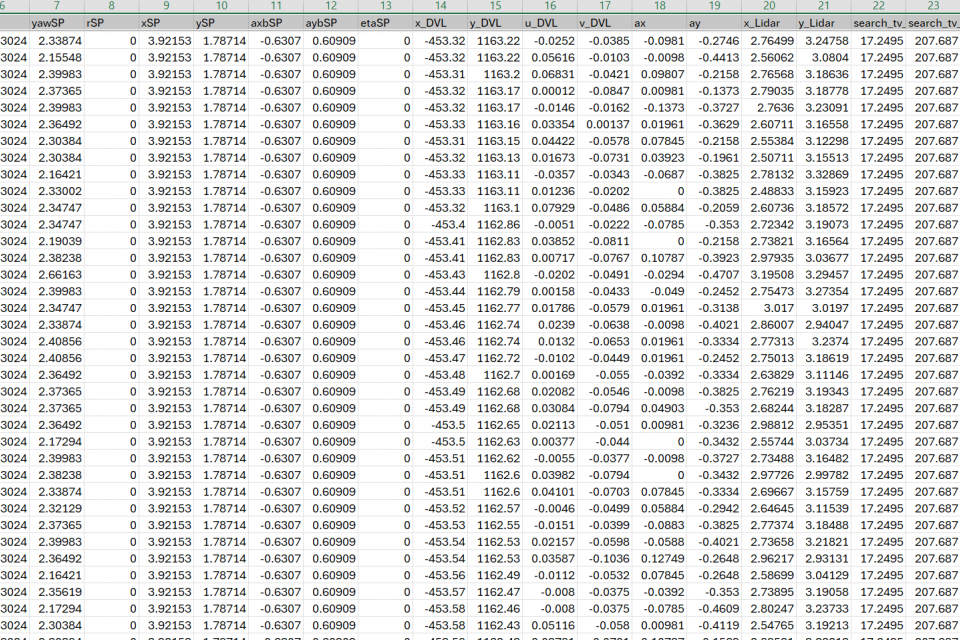
General rules The units of all the data are in SI unit (m, s, m/s, rad, rad/s, etc.). Some variables are attached with a suffix SP, which means setpoint, and it is the desired value of the variable. Some variables are initialized with a value of NaN (Not a Number) to indicate that the variable is not available at the moment. Some variables are attached with a suffix like _LIDAR OR _DVL to indicate the data source of the variable. There are three ENU frames: The USV ENU frame: The origin is the target vessel, and the x-axis is pointing to the east, the yaxis is pointing to the north, and the z-axis is pointing up. The heading is measured in the clockwise direction from the north, by USV IMU and compass. The sUAV ENU frame: The origin is the USV current position, and the x-axis is pointing to the east, the y-axis is pointing to the north, and the z-axis is pointing up. The heading is measured in the clockwise direction from the north, by sUAV IMU and compass (USV and sUAV compasses are aligned). The DVL ENU frame: The origin is the jetty, and the x-axis is pointing to the east, the y-axis is pointing to the north, and the z-axis is pointing up. The heading is measured in the clockwise direction from the north, by DVL built-in IMU (no compass used, so outputs will be affected by its gyro drift).
Documentation
| Attachment | Size |
|---|---|
| 68.73 KB |


