Dataset Entries from this Author

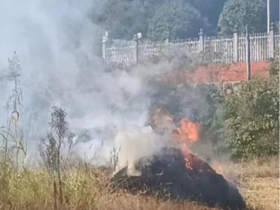
Straw burning poses a significant threat to air quality and public health, primarily due to the emissions of smoke aerosols and associated hazards. Satellite-based remote sensing techniques often have limitations such as long revisit times and low spatial resolution to detect small-scale straw-burning sites. Unmanned aerial vehicles (UAVs) with imaging sensors offer a fast, cost-effective alternative for monitoring and detecting straw fires. By leveraging high-resolution multi-modal images, UAVs can provide valuable insights into the occurrence and spread of straw fires.
- Categories:

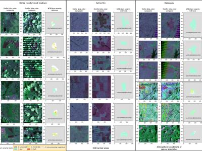
The raw MTBS data were downloaded from the official website (https://www.mtbs.gov/direct-download), and we select the pre-fire images, post-fire images, and thematic burn severity layers from 2010 to 2019 (over 7000 fires) across the conterminous United States as the data source of Landsat-BSA dataset. The raw MTBS dataset is preprocessed, reformed, and relabeled to produce the Landsat-BSA dataset with a sample size of 256 × 256.
- Categories:
