Datasets & Competitions
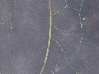
CrackAirport features images containing unique elements such as aircraft, T-hangars, vegetation, airport markings and signs, as well as evidence of previous maintenance. The dataset was captured using a Sony ILCE-7RM4A camera mounted on a drone flying at an altitude of 100 feet AGL. The imagery was sourced from various local airports in Tennessee and includes common pavement distresses and environmental patterns typical of airport surfaces. The images were annotated and then cropped into 512x512 pixel segments for training.
- Categories:
 798 Views