Hazardous Area Classification
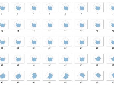
This dataset includes environmental perception, vehicle motion status, and battery consumption during vehicle operation. The dataset is collected by human operators during the safe and smooth operation of vehicles. By dividing the hazardous areas in the current environment of the vehicle and processing them, a radar map of the hazardous areas is generated; The vehicle motion status section contains the position information (x, y, z) and kinematic information (v, w, a, alpha, beta, gamma) of the vehicle.
- Categories:
 719 Views