MarsScapes, a Panorama Dataset for Mars Terrain Understanding

- Citation Author(s):
-
Meibao Yao (Jilin University)Haiqiang Liu (Jilin University)Xueming Xiao (Changchun University of Science and Technology)
- Submitted by:
- Meibao Yao
- Last updated:
- DOI:
- 10.21227/1rsx-eg73
 374 views
- Categories:
Abstract
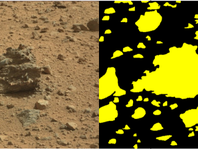
We release MarsScapes, the first panorama dataset for Martian terrain understanding. The dataset contains 195 panoramas of Mars surface with fine-grained annotations for semantic and instance segmentation, facilitating high-level scene understanding of Martian landforms and further enhancing the navigability of rovers over rough terrains in large areas. Note: Limited by the file size, we temporarily submit the first half of MarsScapes (i.e. from 122_1 to 527_1) as a representative subset. All samples will be provided after our paper is accepted.
Instructions:
o characterize all landforms on Mars and label all pixels without omission, we define nine categories, including soil, sand, gravel, bedrock, rocks, tracks, shadows, background and unknown. We give specific descriptions and examples of each category in the supplementary.pdf.


h