Crop Classification
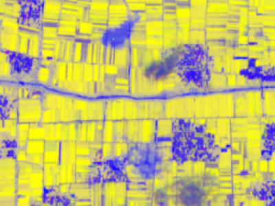
Satellite image crop classification utilizes remote sensing technology for efficient monitoring and analysis of agricultural land. By acquiring satellite data at different times and spectral bands, the spectral characteristics of crops can be extracted to identify different crop types. In recent years, with the development of machine learning and deep learning algorithms, classification accuracy has significantly improved.
- Categories:
 67 Views