Datasets
Standard Dataset
total magnetic field and gradient magnetic data
- Citation Author(s):
- Submitted by:
- Zongrui Li
- Last updated:
- Thu, 06/20/2024 - 06:48
- DOI:
- 10.21227/ghxh-v085
- License:
 87 Views
- Categories:
- Keywords:
0 ratings - Please login to submit your rating.
Abstract
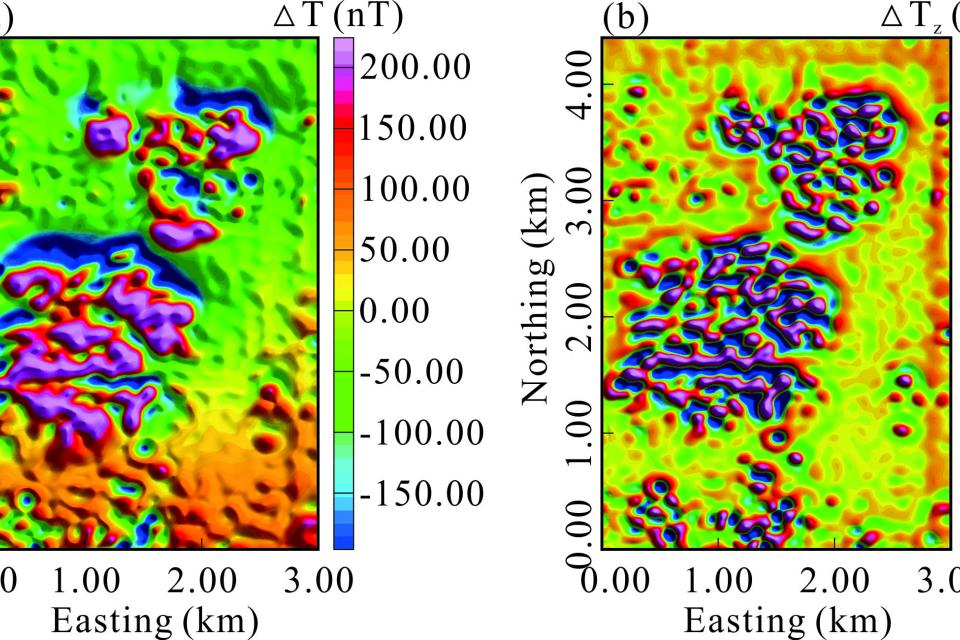
The survey area is a partially burned coalfield at the border between the Loess Plateau and Mu Us Desert in Shaanxi Province, China, and most of the surface was covered by Quaternary sand and loess. There are burnt rocks in the coal seam in this area. We performed a surface survey of the total magnetic field and its gradient data in the area to obtain the range of burned zone. The inclination and declination of the geomagnetic field in the area were 59.0° and −5.4°, respectively. Figs. show the meshed total magnetic field and its gradient data with a grid distance of 50 m.
Instructions:
The data is a text file consisting of four columns sequentially X, Y,Z and magnetic data.


