Datasets
Standard Dataset
Power Inspection Dataset
- Citation Author(s):
- Submitted by:
- Yong Li
- Last updated:
- Thu, 03/14/2024 - 04:57
- DOI:
- 10.21227/dc5q-wk64
- Data Format:
- License:
 219 Views
- Categories:
- Keywords:
Abstract
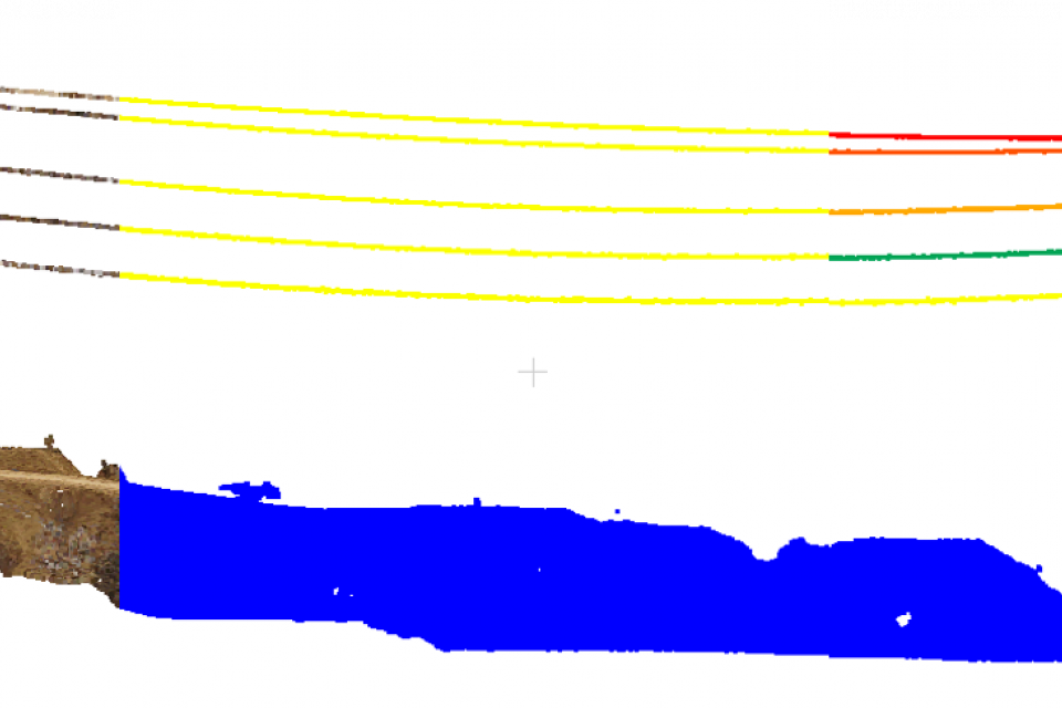
The PID is collected by small unmanned aerial vehicles equipped with LiDAR. Each point includes coordinate information (x, y, z) and color information (RGB). The total length of the TLs is approximately 3700 meters, consisting of 17 complete TLs. Each scene contains a complete span TLs, two Towers and a small part of the TLs of other scenes.1) Others: including ground, road, shrub, river and other non-TLs and non-Towers point clouds.2) Towers: including two-loop umbrella tower and single-loop umbrella tower.3) TLs: including overhead transmission lines, ground lines and lightning protection lines; 4) Otherlines: cuts part of the TLs that belong to other scenes when cutting a single scene. We create this category label to distinguish between TLs that span inside and outside.
The data set is a point cloud data saved in TXT file, respectively XYZRGB semantic ID instanceid


Comments
Hey,
I need to experiment with this dataset in a class project. Can I have a temporary access?