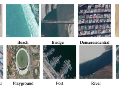
Land Cover Classification;Google Earth Image;
The Asian Subcontinent Dataset (ASCD) is a multisensor dataset that includes geospatial data collected from different countries within the Asian subcontinent, specifically India, Bangladesh, and Sri Lanka. The dataset consists of imagery captured through two main sources: Google Earth Pro software and IKONOS-2 satellite images. ASCD includes 14 distinct land cover classes, ranging from urban areas to natural environments, with 1,674 images. The number of images in each land cover class varies between 100 and 204.
- Categories:
 142 Views