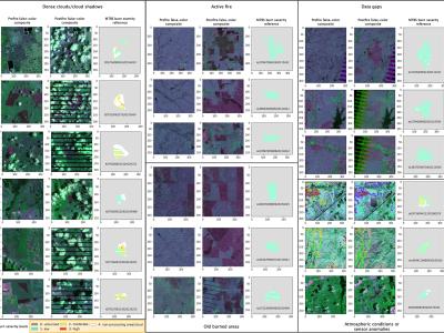
The raw MTBS data were downloaded from the official website (https://www.mtbs.gov/direct-download), and we select the pre-fire images, post-fire images, and thematic burn severity layers from 2010 to 2019 (over 7000 fires) across the conterminous United States as the data source of Landsat-BSA dataset. The raw MTBS dataset is preprocessed, reformed, and relabeled to produce the Landsat-BSA dataset with a sample size of 256 × 256.
- Categories:
