Climate Change/Environmental
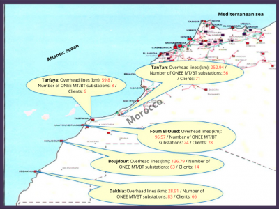
This dataset supports the manuscript titled “Strategies for Mitigating Degradation of Medium Voltage Electrical Equipment in Harsh Saline Environments.” The study focuses on identifying and addressing the challenges faced by medium voltage equipment in coastal environments characterized by high salinity, humidity, and extreme weather conditions. The dataset includes:
- Categories:
 76 Views
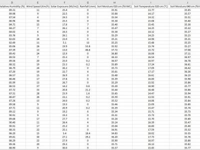
The data is collected from the deployed IoT sensor node at a pilot farm in Narrabri, Australia. The dataset includes information about soil characteristics such as soil moisture and soil temperature at 20-40-60 cm depth. The sensor node also provides information about environmental influencers, which are critical in constructing machine learning models to predict Evapotranspiration in diverse soil and environmental conditions.
- Categories:
 458 Views
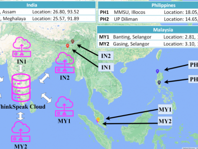
The data used in this work is collected using the AirBox Sense system developed to detect six air pollutants, ambient temperature, and ambient relative humidity. The pollutants are Nitrogen Dioxide (NO2), surface Ozone (O3), Carbon Monoxide (CO), Sulphur Dioxide (SO2), Particulate Matter (PM2.5, and PM10). The sensors monitor these pollutants in real-time and store them in a cloud-based platform using a cellular module. Data are collected every 20 seconds, producing 4320 readings each day.
- Categories:
 226 Views
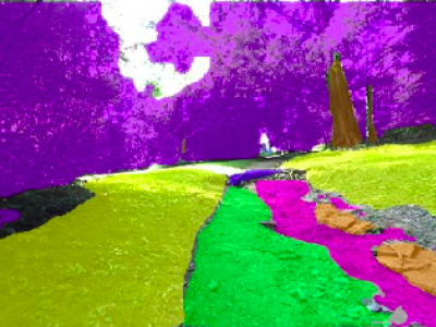
This work presents a specialized dataset designed to advance autonomous navigation in hiking trail and off-road natural environments. The dataset comprises over 1,250 images (640x360 pixels) captured using a camera mounted on a tele-operated robot on hiking trails. Images are manually labeled into eight terrain classes: grass, rock, trail, root, structure, tree trunk, vegetation, and rough trail. The dataset is provided in its original form without augmentations or resizing, allowing end-users flexibility in preprocessing.
- Categories:
 525 Views
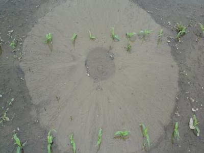
This dataset, titled "Synthetic Sand Boil Dataset for Levee Monitoring: Generated Using DreamBooth Diffusion Models," provides a comprehensive collection of synthetic images designed to facilitate the study and development of semantic segmentation models for sand boil detection in levee systems. Sand boils, a critical factor in levee integrity, pose significant risks during floods, necessitating accurate and efficient monitoring solutions.
- Categories:
 288 Views
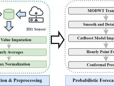
Data Collection Period: Both datasets cover the period from July 1, 2022, to July 31, 2023. This one-year span captures a full cycle of seasonal variations, which are critical for understanding and forecasting air quality trends.
Data Characteristics
- Temporal Resolution: The data is recorded at 15-minute intervals, offering detailed temporal resolution.
- Missing Data: Both datasets contain missing values due to sensor malfunctions or communication issues. These missing values were handled using imputation techniques as part of the preprocessing phase.
- Categories:
 347 Views
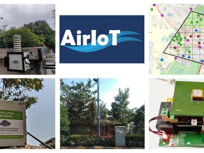
AirIoT is a temporal dataset of air pollution concentration values measured for almost three years in Hyderabad, India. In AirIoT, a dense network of IoT-based PM monitoring devices equipped with low-cost sensors was deployed. The research focuses on two primary aspects: measurement and modelling. The team developed, calibrated, and deployed 50 IoT-based PM monitoring devices throughout Hyderabad, India, covering urban, semi-urban, and green areas.
- Categories:
 971 Views